The little goat that could: transport by chiva

Transport by truck in Santa Fe, Veraguas
Elias’s Chiva in Santa Fe, Veraguas

Chivas (translated goats) is a term used to refer to small transport vehicles, most often pickup trucks with an area in the back where people sit.  These are often used in rural areas to get between small towns on rough roads.

Transportation is a competitive business

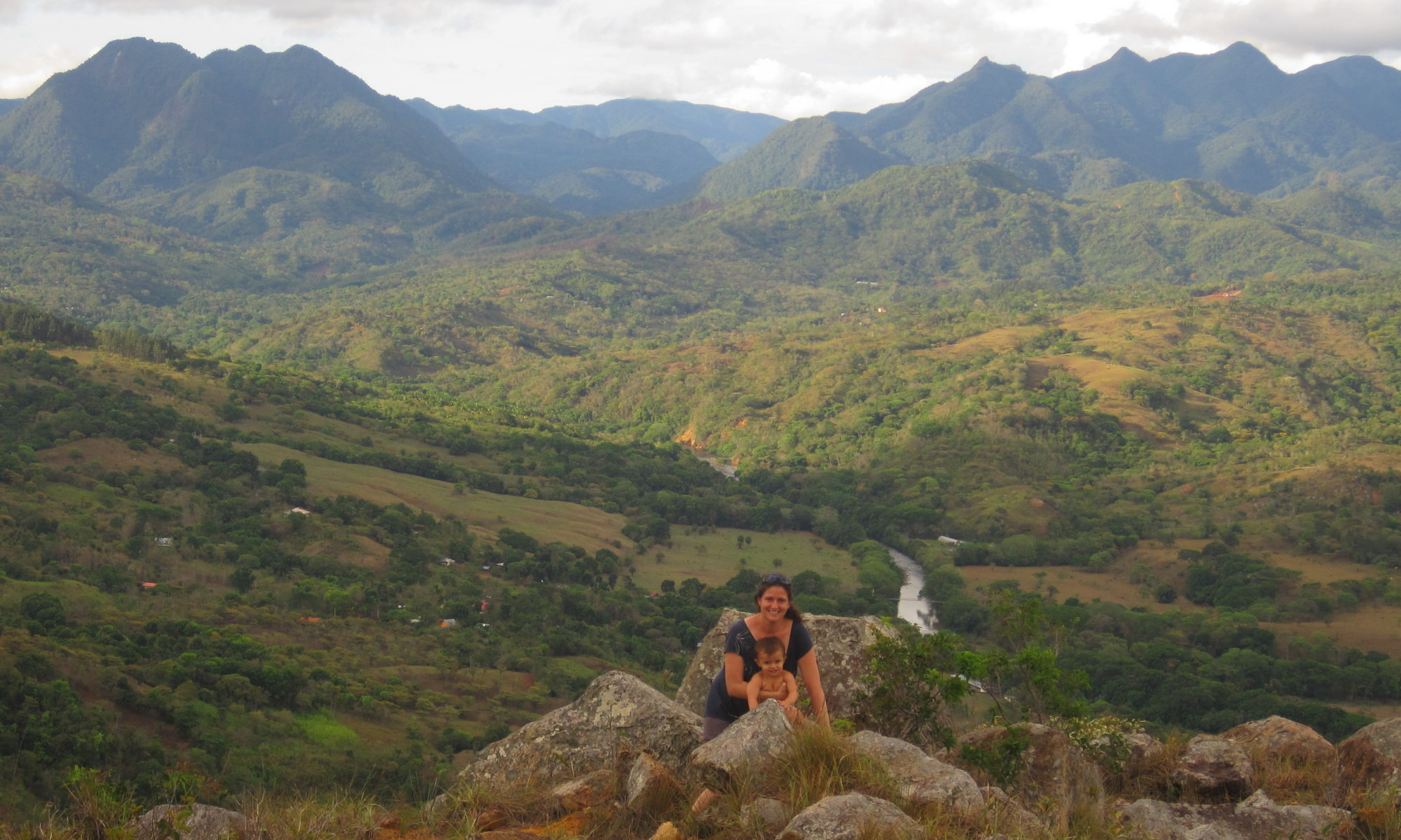
In Santa Fe, there are two internal routes, one goes from Santa Fe-Guabal (though the Chivas are marked with Calovebora), the other makes a circuit of Santa Fe – El Pantano.  There are a limited number of trips permitted on each route, and each driver or owner holds a cupo for the right to drive on that route.  The national government sets the fare-you will not be overcharged on a chiva.  In both cases in Santa Fe, there are several owners who operate on each route.  They work up a schedule for which chiva operates when.  Some drivers are the owners themselves, others are employees of the owners, and still others work out a deal with the owners for commission.  As with any business where owners compete for limited resources, there are rivalries and also alliances between operators.

Did you know: You may occasionally see these chivas chain up.  Chains on tires are used for mud, not snow in Panama.


How to take a chiva

  1. If you’re near the center of Santa Fe, simply grab one near the central plaza.  If you’re on one of the roads around Santa Fe, hail it.  (How I hail a chiva: Turn around to face the truck. Make eye contact.  The driver may toot his horn, this is asking, hey do you want to get on?  Whether s/he does or not, stick out your arm (you’re saying, why yes I do want a ride))  If you have a stopping place that’s not the end of the route, tell the driver before you get on.  Make sure they understand.
  2. Climb in back.  The driver may ask if you want to sit in front.  I’m overly cautious, and as a woman, I prefer to travel with other people in back.  Ladies, Panamanian men tend to be very flirtatious and male drivers often ask a pretty woman (like you obviously) to sit in front with them.  I’ve heard some of the less generous women refer to these seats as the “bus slut” seats.  I think this is very unfair, it’s a woman’s prerogative to look good if she wants to. And flirting can be fun, but just be forewarned that flirting may ensue. Bus slut or not, if you’re lugging around a big backpack, the driver may ask you to put it on top of the vehicle.  Do this.  If it rains, there will be a tarp that goes over it.
  3. You can always ask for a stop by banging the outside of the vehicle.  If other people in the back see you doing this, they’ll help you.
  4. When you get off, don’t forget to wait for your luggage to be handed down.  Pay the driver.


I am number one! You are number 2!

Narices River, Santa Fe Nationa Park, Veraguas, Panama
Narices River, Santa Fe National Park, Veraguas, Panama

Rio Narices, Santa Fe National Park – Stories from Cele

Rio Narices is an amazingly clear river that flows down the Pacific side of Santa Fe National Park, joining the Santa Maria River about 2 miles to the north east of Santa Fe, one of the 10 largest rivers in Panama. There is clear, still water, some neat geologic formations, forested slopes, and about 3 miles in, a little palm rancho that ANAM built.

Cele’s hiking recommendations

We wore rubber knee high boots when hiking up the river.  There were some places where we had to cross from bank to bank to continue walking, and in places the water was pretty deep.  Bring food if you want to hike up, I didn’t and was hitting on empty when we got back. The going is slow.  We walked in maybe 3 miles to the ANAM rancho.  The term rancho makes it sound bigger than it is.

Philosophical question for this hike

Rancho Narices, Santa Fe National Park
Rancho (ANAM), Santa Fe National Park

Indigenous groups have lived in Veraguas for centuries if not millenium, living in small communities.  Santa Fe National Park was finally formed in 2001, and encompasses some  villages.  Up Rio Narices, and over the cordillera central, and going down the river on the other side of the continental divide, there are three communities: numero uno (number one), numero 2 (number 2) and Guazaro, accessible by foot, a total of 12 hours hiking one way.

So, think about it.  You’re living in an isolated community, not much entertainment, except the communities down the way.  I’m sure they get together for festivals, make life interesting.  Do you think the villagers debate which town is number one and which is number 2?  Ah, we are number one because we are closer to the ocean, your town is number two.  No no no, we are number one since we’re closer to Santa Fe, you live in number 2.  How about your psyche.  Would you grow up feeling inferior if you grew up in number 2?

Cerro Tute – can I be a rebel too?

Cerro Tute overlooking Santa Fe Valley in Veraguas, Panama
Cele at Cerro Tute

 Santa Fe, Panama – Cerro Tute Exploring

I have watched youtube videos of places to go and things to do, and have been impressed by those of hikers going up Cerro Tute.  Young hikers  out of breath, hiking for hours to see the panaromic views from the Cerro which hovers protectingly at 1061m over Santa Fe, Veraguas with its sister hill Cerro Mariposa, known for its birding.  Unlike Cerro Mariposa, Cerro Tute is   deforested and known for —well rebels like you and me.

Not quite.

But it is known for rebel hideouts, first indian caciques lanced some of their resistance against the Spaniards from the cerro, and more recently in the 1950s a group of Fidel Castro inspired Panamanian university student rebels hid from the pursuing governmental forces in Cerro Tute.  The government eventually lured them down with rumors of gun shipments, or so I hear.  Many were killed, others escaped.

Today the Cerro hugs the edge of Santa Fe National Park.  Country folk live in its hill sides. And, it has great views.

How we got there

Cele and I decided to check it out, but in our 4X4 rather than walking, to see how far we could get.  They’ve been working on the road, and we saw our tax dollars at work with the new tourism authority signs for the cerro.  So we followed them.  We took the red route on the map below – starting point – the inn of course!  We followed the signs south of town to the Cerro.   20 minute drive-up hill with some great views of town.  We didn’t go all the way to the top I don’t even think we  used the 4×4.

Recommendation?

How was it, well it was nice. (6.5/10).  The problem with Santa Fe is that there are so many places with sweeping views.  Was it fun, yeah.  Were there great views,  yup- looking out towards Santiago  But it wasn’t forested, no fantastic rivers, and the drive wasn’t as interesting say as going to Alto Gonzales to the north, or the road to Guabal.  There is an alternate route (blue), which is supposedly rougher.

Recommendation: Go up with a car for a picnic lunch or to watch the sun rise/sun set.

Cerro Tute Routes - by Car
Exploring the Cerro


Santa Fe Found – beauty of topographic maps

I love topographic maps of rural areas,  I can spend hours looking over them, the rural towns, the square boxes that mark one home, one life.  The dashed lines that mark roads/paths or trails between these small communities.  Trails to walk, views to see.

When my husband was dating me, he brought me two presents that I have on my wall: the topographic map of Santa Fe (scale 1:50,000) and of Calovebora to the north.

The town itself, Santa Fe, is one of the oldest cities/towns in Panama, founded in the 1500s, and was once the regional (viceroyalty) capital.  Place names in the history books found in their present day adaptations on the map.  “Veragua” to “Veraguas”.  “Calobegola” to “Calovebora”.  And others you wonder where they came from, like “Narices” or Noses.