I spent last weekend checking and cross-checking bird species for the Santa Fe region in Panama to compile a list of totaling 300 species found in this region (!). This list represents a compilation of a variety of records, from the Smithsonian, Panama Audubon Society and online trip records.
I’d be willing to add or subtract and would love to hear from birders out there.
There were times that the Smithsonian’s Scientific Name used was different than the Panama Audubon Society’s. This happens with species over time as someone decides that one species is actually a type of another genus. In this case, I did not research each discrepancy- I went with the Smithsonian’s naming conventions.
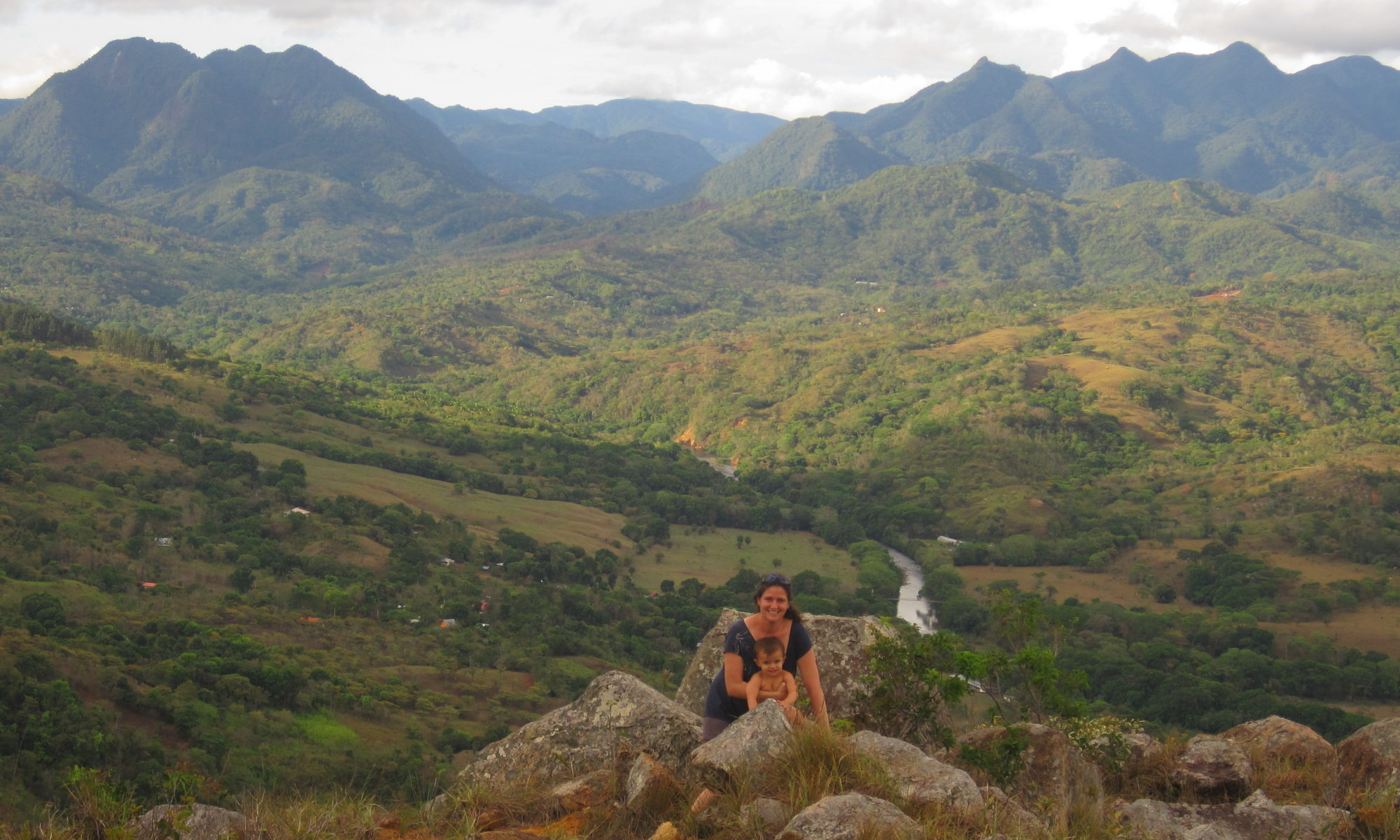
Narices River, Santa Fe National Park, Veraguas, Panama
Rio Narices, Santa Fe National Park – Stories from Cele
Rio Narices is an amazingly clear river that flows down the Pacific side of Santa Fe National Park, joining the Santa Maria River about 2 miles to the north east of Santa Fe, one of the 10 largest rivers in Panama. There is clear, still water, some neat geologic formations, forested slopes, and about 3 miles in, a little palm rancho that ANAM built.
Cele’s hiking recommendations
We wore rubber knee high boots when hiking up the river. There were some places where we had to cross from bank to bank to continue walking, and in places the water was pretty deep. Bring food if you want to hike up, I didn’t and was hitting on empty when we got back. The going is slow. We walked in maybe 3 miles to the ANAM rancho. The term rancho makes it sound bigger than it is.
Philosophical question for this hike
Rancho (ANAM), Santa Fe National Park
Indigenous groups have lived in Veraguas for centuries if not millenium, living in small communities. Santa Fe National Park was finally formed in 2001, and encompasses some villages. Up Rio Narices, and over the cordillera central, and going down the river on the other side of the continental divide, there are three communities: numero uno (number one), numero 2 (number 2) and Guazaro, accessible by foot, a total of 12 hours hiking one way.
So, think about it. You’re living in an isolated community, not much entertainment, except the communities down the way. I’m sure they get together for festivals, make life interesting. Do you think the villagers debate which town is number one and which is number 2? Ah, we are number one because we are closer to the ocean, your town is number two. No no no, we are number one since we’re closer to Santa Fe, you live in number 2. How about your psyche. Would you grow up feeling inferior if you grew up in number 2?
I love topographic maps of rural areas, I can spend hours looking over them, the rural towns, the square boxes that mark one home, one life. The dashed lines that mark roads/paths or trails between these small communities. Trails to walk, views to see.
When my husband was dating me, he brought me two presents that I have on my wall: the topographic map of Santa Fe (scale 1:50,000) and of Calovebora to the north.
The town itself, Santa Fe, is one of the oldest cities/towns in Panama, founded in the 1500s, and was once the regional (viceroyalty) capital. Place names in the history books found in their present day adaptations on the map. “Veragua” to “Veraguas”. “Calobegola” to “Calovebora”. And others you wonder where they came from, like “Narices” or Noses.